Showing posts with label Whidbey Island. Show all posts

Thursday, July 7, 2016

Goose Rock/North Beach - Deception Pass State Park

Long time no post! I've been busy studying for my national board exam, which I just completed yesterday. (I have to wait a week and a half to find out if I passed, though.)

I haven't had much time for hiking, but a few weeks ago I did manage to make it up Goose Rock in Deception Pass State Park. I also hiked along North Beach.

View from the Summit
I went on a sunny June weekend. It was cloudy when I left Bellingham, but the skies were blue by the time I reached Anacortes. The park was fairly full, too, though I still managed to find parking by North Beach.


Playing troll under the bridge
Of course I brought my hiking buddy with me!

Hiking Buddy

Scenic meadow at the top

Apparently, the person with the "Zombie Stryke" backpack with purple fuzzy handcuffs is the perfect person to ask for directions, as I was regularly stopped by people wanting to know how to reach the summit.

Yes, the handcuffs are STILL on the hiking pack
Most of the people asking were approaching the summit from the perimeter trail, which if you ask me is the WRONG direction to go.

Lots of wildflowers! 
Taking the perimeter trail first means you have to climb up a narrower, rockier, steeper route to the top. It is a lovely trail to take; I prefer to take it on the descent though.

Cornet Bay as seen from the perimeter trail
 When we finished our Goose Rock loop, we hiked along North Beach, which offers some nice views of Deception Pass Bridge. I took the beach to the amphitheater and to West Beach. By then, I was running out of steam and my ankle was sore, so I headed back. (My original idea was to hike along West Beach as well.)

Pooch enjoying the sand
Views of the bridge

Taking the trail above the beach back

North Beach Panorama
 At the amphitheater, a park ranger was either setting up or taking down a presentation. She had a trailer with a large whale skull and some whale ribs.

Not sure if real or plastic, though.
At West Beach, the sand is sandier and the view opens up to a bigger ocean. There's a dune trail to the south. There's also a huge parking lot here, though on the weekend even it was mostly full.


I've been recovering from a stubborn ankle injury, and the walk along North Beach exacerbated it. Fortunately it seemed to recover faster than it had on hikes in the past. As it heals, and with my exam behind me, I'm hoping for more hikes in the future!


Thursday, March 3, 2016

Hiking with purple fuzzy handcuffs

Last week I hiked Ebey's Landing, because I saw Craig Romano list it as his favorite winter hike in Western Washington on an episode of Evening Magazine. I've already blogged about this hike before, so you can read the guide I wrote then.

On this hike, I added purple fuzzy handcuffs to my hiking pack.

Seen pictured
And I hiked with them attached the whole way.

I really did.
All because of this:

Don't judge me because I had them in my bedroom until now.
I made the hike involve them. It was a great piece to weird out people with.

Hiking Partner: "What are you doing with those again?"

Me: "Tie me to a tree, baby. You know I like it!"

Other hikers: *horrified looks*

Oh yes, it was fun.

I brought along my little Ozzy, and she had her dog, so we had two hyper doggies that we drove all the way down to Coupeville to take on a five mile hike.


Posing in front of the old Ebey blockhouse and estate.

Posing in front of the lagoon
It was sunny and not too cool out. I think it must have been in the 60's. I didn't wear the jacket I packed at all. I got tan lines from my t-shirt in February!


Seattle has had its wettest winter on record, so this was a rare sunny day we took full advantage of.


Hoping for more sunny days suitable for hiking!

Thursday, September 10, 2015

But why is it called Goose Rock?

There was just enough break in the weather for me to head out and get a brief hike in. I decided that I wanted to head out by the beach, so I headed toward Deception Pass to Goose Rock. This is a hike that's short and sweet and is easily combined with other hikes in the area.

Goose Rock is the highest point on Whidbey Island, which doesn't say much: 484' is as high as you get. Still the views are pretty sweet, overlooking Oak Harbor and out toward the Strait of Juan de Fuca.

Goose Rock - Deception Pass State Park
Washington State Parks
Parking permit: Discover Pass ($10 a day or $30 a year)
Distance: 2.8 miles
Elevatoin gain: 484'
You'll want to head to Deception Pass State Park on the south (Whidbey Island) side of the park off Highway 20. Follow the signs to North Beach for trailhead parking. There are restrooms at the trailhead if needed.


The trails are well-marked, so you can pretty much follow the signs to Goose Rock.

In fairly short order, you'll pass under the bridge.


You can head up and cross the bridge if you're ambitious from here.

Just past the bridge is a junction. It's a loop so you can go either way. I prefer the counter-clockwise direction, so head right and take the NW Summit Trail.


The weather was overcast and not particularly warm, but it was sure humid! This bench is not far down the trail and I stopped here to remove the jacket. I love the madrona trees next to it.


As you near the top, a helpful sign tells you a bit about the geography and reminds you that you're entering an environmentally sensitive area...


...and then you hit the power lines. I'm not against them, but it seems ironic to have the signs right before the clearing for the power lines. Just sayin'.


Remember to stay on the trail and rocks on the summit, and don't step in the meadow!


NAS Whidbey Island is nearby, and they were doing lots of practice maneuvers, so you could hear them throughout the day. They flew fairly close to the rock, too.

Planes!

I stopped at the top for lunch and watched them do touch-and-goes at the air base. There were no less than three planes in the air at any given time.

View of the island from the summit...

View
...and looking out toward the strait...

Water!
Once you're done up top, find the marked path heading east. My hiking buddy took the lead here.


The trail quickly descends with plenty of rocky switchbacks. There is a reason I prefer to go down this way.


I tried to capture the steepness in this pic, with limited success.

It's rocky and steep.
The junction at the bottom is well marked, so hang a left on the perimeter trail to begin looping back.


Two different distances, same time estimate. One trail is steeper than the other.
The trail hugs Cornet Bay, which makes for a fairly scenic stroll.


One small climb gets you over the edge of the hill here, and then it's fairly level hiking the rest of the way.

I found this rock doing its best impression of wood.


The elevation gives you a different view of the bay.


I found wood doing its best impression of fire.


You can admire the private homes on Ben Ure island. There's also a cabin you can rent there through the parks department, though it's not visible from the trail.


Ben Ure island has an interesting history. It is said that Ben Ure used the island for smuggling operations in the mid to late 1800's. His wife would signal when the coast was clear of patrol boats from nearby Strawberry Island. He was charged with possession of stolen goods. Urban legend says he was also involved with illegally smuggling Chinese immigrants. Legend says that when patrol ships were nearby, smugglers would dump their "cargo". Dead Man's Cove on San Juan Island is said to be named such because the currents would carried the bodies to that beach.

Back to the trail, you'll eventually rejoin your original trail at the bridge and can head back to the parking lot.

To add to this hike, you can take a trail parallel to North Beach to meet with Cranberry Lake and sand dunes along West Beach. You can also explore the trails on the other side of Highway 20 around Hoypus Point, or head to the other side of the bridge and explore the trails near Rosario Point and Bowman's Bay.

Thursday, August 20, 2015

Beach Breeze - Ebey's Landing

Remember, my dog is raising money for Washington Trails Association this month. Support him here!

I was looking for a scenic, easy hike, and I found one near Coupeville on Whidbey Island. Ebey's Landing is a historical preserve that is a unique mish-mash of private, state, and federal land jurisdictions. You'll get to hike through prairie, along coastal bluffs, and along a beach and lagoon.

From Highway 20, head south on Sherman Rd (just east of Coupeville). At the Y, hang a right on Cook Road. Drive past the cemetery and parking for the Ebey's Prarie Trail is at the end.

Ebey's Landing
Parking Permit: none needed for the trailhead described (other trailheads require a Discover Pass)
Distance: 5.6 miles
Elevation difference: 260'
You start off near some private residences and farmland. Be careful to stay on the marked trail and be courteous of the private property!


There's an overlook of the prairie below, so take a moment and enjoy the view!


There were a lot of wasps here, so be wary.

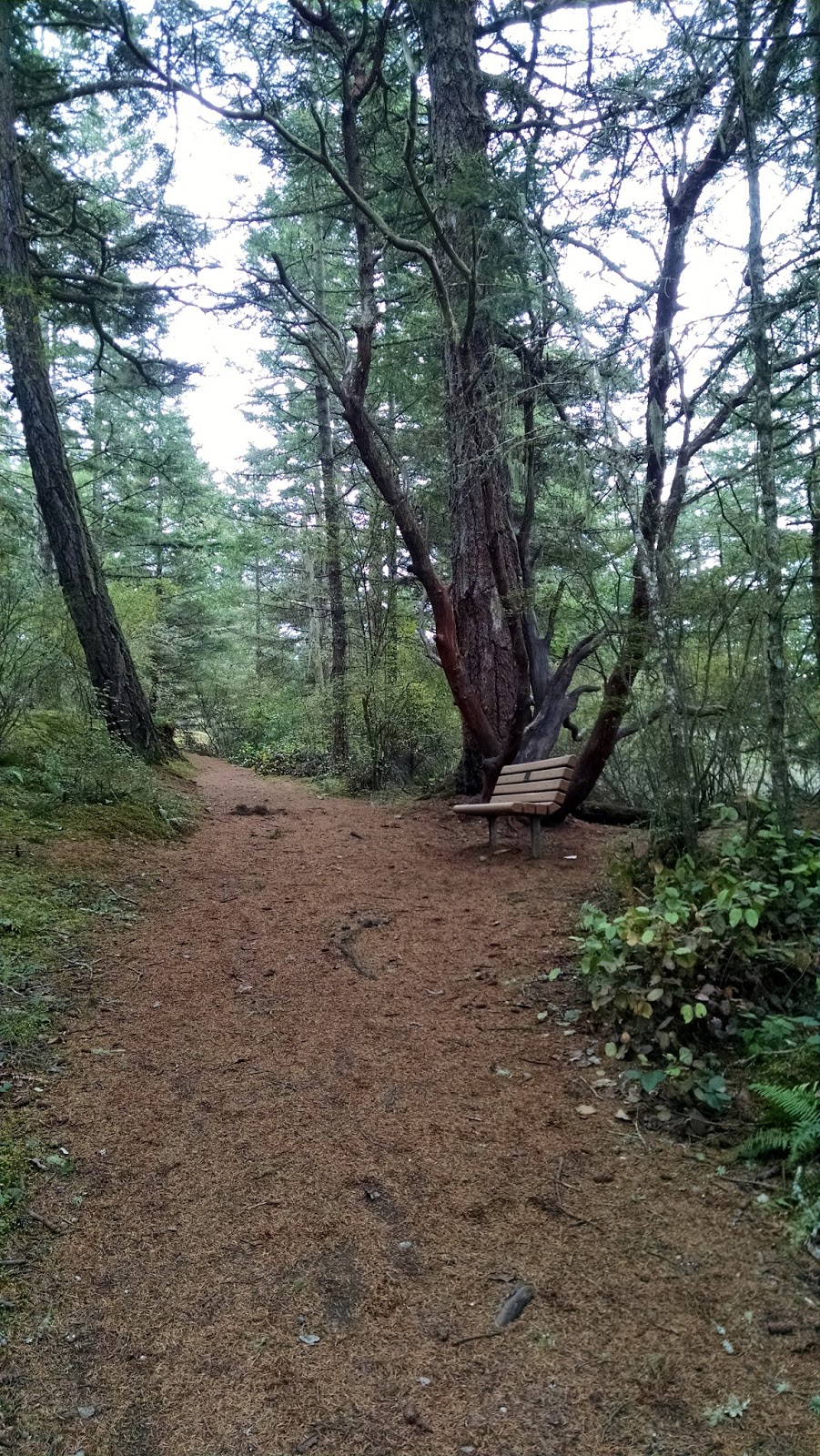
You start out on a gravel road that eventually turns to dirt.


They must grow alfalfa here.


After a short while you come across the Jacob Ebey house. The blockhouse on the left is an older construction I believe, and there are several similar constructs in the area.


Continue walking along the prairie toward the ocean.


At the end of the Prairie Overlook Trail, enjoy a map showing the hodgepodge of different land managements.


From here, you can go left or right. I went right and headed up Bluff Trail. Again, there were a lot of hornets crawling in the sand here, so be careful where you stand to take a pic.


The view is nice.


Looking back, you can see Mt. Baker behind the fields.


The Skagit Indians cultivated these fields long before white settlers arrived, growing camas as a major trade crop. Of course, Captain Ebey and his folk took one look at the fields, realized they had perfect farmland ready and waiting, and moved their way in.


As you walk along Bluff Trail, you eventually will catch sight of Perego's Lake. It's a rather scenic lagoon that the trail will ultimately loop around.


Photo op with Ozzy!


I named this tree Gnarls Barkley and thought myself quite witty.


The trail eventually begins to turn downhill with switchbacks leading toward the beach.


The trail is narrow and sandy. I learned that if you step too close to the edge of the trail, the sand falls away and you fall down. My hiking partner had a camera going at just the right moment to capture this:

Down I go!
At least sand is soft to land in!

At the beach, you can walk along the ocean side or the lagoon side.


The lagoon-side trail looks a bit narrow and unofficial, but we went for it.


The lagoon smelled fantastic, and I mean that with all the sarcasm in the world. The dog kept trying to run off to drink the lagoon water and roll in the lagoon muck.


It's been hot, drought conditions all summer, and the seafoam on the east end of the lagoon had dried. Walking on it was like walking on a foam mattress!


Eventually you run out of lagoon and so head back to the main beach and walk until you get to a small parking area. From there, you can take the trail back up to Prairie Ridge Trail and head back the way you came!


Info panel near the parking lot tells you what you're looking at out in the channel.
Before you leave the trailhead though, the cemetery has some interesting headstones and another blockhouse to view.

It's the entire family tree.

Loved his pooch.
 
Rawr

Stealing this for my epitaph...


The old Davis Blockhouse sits in the middle of the cemetery.


At the very end, head into downtown Coupeville and have ice cream at Kapaw's Iskreme! Perfect way to end a lovely hike!