It was on this mountain that I would pack a snack and hike on it late into the afternoon, exploring the old roads until the paths faded into the forest. It was also where I learned to appreciate how easy it is to get turned around in the woods. There's nothing like following a path that fades into a dead-end, turning around, and realizing you have absolutely no idea which direction you came from! I eventually found my way back, but there were several anxiety-producing minutes where I found myself utterly lost!
A short time after I moved out and away on my own, a chunk of that hill was turned into Lookout Mountain Preserve, and the old trails were made new by being cleared, graveled, and mapped into an official park. The trails are well-maintained, so it's a lot harder to get lost than it used to be!
They keep making progress, too. The preserve is a small part of a much larger reconveyance by the county to buy up and preserve the land around Lake Whatcom. The lake supplies the drinking water for Bellingham and its health has steadily been in decline for a while now, so preserving the land in the surrounding watershed is an important step in improving the condition of the lake. Recently they obtained land stretching all over Lookout Mountain, as well as a great deal of land on the other side of the lake, so expect a massive expansion in the trail network in coming years!
I could not find a decent map online of the trail system, but there's a decent map at the trailhead, so I doodled on that for you!
 |
Lookout Mountain Preserve
Whatcom County Parks & Rec
Distance: 4.7 miles
Elevation Gain: 850'
|
To get to this park from Bellingham, you'll want to take Lakeway Drive (I5 exit 253) east out of town. It will turn into Cable St. Take a right on Austin St; it will turn into Lake Louise Drive. Follow it out about two and a half miles; the trailhead is across the street from Gate 9.
Progress on this trail system was evident from the moment I pulled up. A few years ago, there was just limited street parking for a handful of cars. Now, there's a parking lot suitable for 2 dozen vehicles, as well as a privy.
 |
| Gotta have privies! |
Throughout the entire park, there was also evidence of recent work. Looks like they're working on drainage:
 |
| Fresh trail! |
 |
| Moss! |
 |
| Moss and dead trees! |
 |
| Forest canopy is nature's umbrella |

Eventually you'll join up with the service road. You can head down to get back to the parking, up for the hell of it, or you can cross and continue toward the main loop trail.

You'll immediately hit a junction on the trail. Left leads to a waterfall, and right leads to the loop. It's worth it to head left. It's a steep, switchbacked climb, but it's a short jaunt to the falls.

When this trail first opened I was thrilled because in all the time I spent hiking these hills before, I never knew these falls existed! Unfortunately, recent drought conditions have reduced them to a trickle.
 |
| Hiking buddy! |
 |
| Trickly |
What looks like a single spur on the map actually branches in two. The right branch dead ends at a creek.
The left branch leads to a decent-looking campsite...

...and then dead-ends in a creek. So, probably not worth the extra mileage.
Back down at the main trail, you reach another junction for the loop. It's a loop, so it doesn't really matter which way you go.
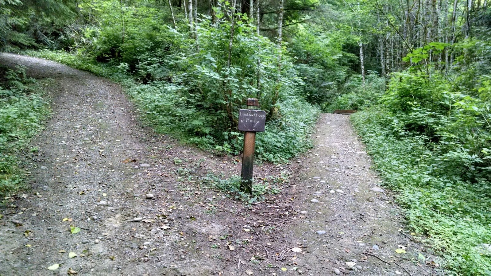
I went left to make a clockwise loop, following the old trail I used to take as a kid.
There's another waterfall; again, it's more impressive when it's wetter.
 |
| Trickle... |
 |
| Disclaimer: technically this is not an off-leash area, but you'll be hard-pressed to find anyone out here who cares. |
He's a disobedient dog, which is largely my fault. But he's a good hiking buddy.
After a decent climb you'll reach another junction. Right lets you continue on the loop. Left goes up to a mediocre lookout.

I climbed up to the lookout so you could see. It's what a realtor would call a "peek-a-boo view".
 |
| Peek-a-boo! |
As you continue on the loop, the old road fades away into a narrower trail, but it is still solid tread you can't lose.


Lots of switchbacks wind down fairly quickly until you meet a long, low, flat area that finishes the loop.

You can take the Lower Lookout Loop back down; dark clouds overhead made me take the road as a shortcut back down to the parking lot.
It's nice to see this trail out here for local residents to enjoy. Sudden Valley historically has not managed their recreation fee funds very well, and most of the parks out there have fallen into a sorry state of disrepair. Having a well-maintained county park in this area is a valuable asset to the neighborhood. It's great to come out here and see the rough, unofficial trails I grew up with turned into something like this!
No comments:
Post a Comment