For a few years, I'd head about some old gold mine remnants out in the county. Specifically, I had stumbled across a reference to "Nooksack Gold Mines". It was about a year before I traced those down to Sumas Mountain and it took a bit longer after that to find a decent map. Finally, it took about a year for the weather and my schedule to align to head out here.
For what seems like such an obscure hike locally, the trailhead is actually quite easy to find. From Everson, head East on Main St. Go straight as Main St. past Highway 9 and it will turn into S Pass Road. When the road makes a sharp turn left to the north, turn right on Sealund Road. Park near the end on the grassy shoulder, taking care not to block anyone's driveway.
We ran into three other groups of hikers on the Sunday we went out, including a family from Nebraska. We also found evidence on our return hike of horses that had passed through the area while we were out. Despite being somewhat obscure, the trail does enjoy its share of visitors.
 |
Sumas Mountain Gold Mines
WA Dept of Natural Resources
Parking permit: none needed)
Distance: ~3.5 miles round trip)
Elevation gain: ~1000 feet
|
The trailhead is next to a fence and hugs a property line. From here you can take the gold mine loop or you can be ambitious and summit the whole mountain. (The summit hike is notoriously steep; you'll gain about 1000' in under a mile).
 |
| Trailhead sign |
All the trail guides you will read will warn about the first 100 yards being notoriously muddy. We went after a long dry period and the trail was dry. However, deep pockmarks in the soil were evidence of how boot-suckingly deep the mud can get.
Across the street from the trailhead, a pair of loaner rubber boots hang from fenceposts for the unprepared. Best bet if it's been wet anytime in recent memory is to back some rubber boots for the first bit of trail and then stash them for the return.
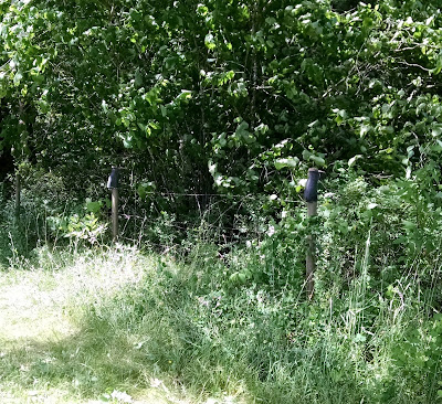 |
| These boots were made for mucking, |
Once we got past the fenced field and away from the sun-baked areas though, we still found plenty of mud awaiting us!
 |
| Mud! |
 |
| Glorious mud! |
We found a decent-sized root-ball the trail wound past.
This time of year we also came across lots of edibles. I found my first ripe thimbleberry of the season!
 |
| Thimbleberry |
 |
| Huckleberry |
 |
| Salmonberry |
 |
| Creeping Blackberry |
The trail guide we were using said to "ignore a spur on the left". The first junction we came to was more of a "Y" and it didn't really seem like a spur so....we went left?
 |
| This wasn't in the trail guide. |
It took us where we were heading, so I guess it was the right way.
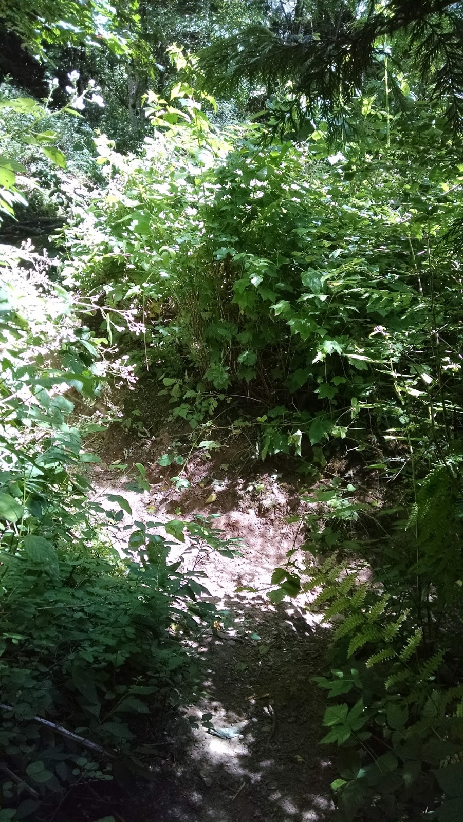
One thing about the trail was that it was rather overgrown. I felt like I should have packed a machete. Much of the trail looked like this:
 |
| So much green. |
You definitely want to wear clothing to cover up even though it's been warm out. My exposed arms were all sorts of cut-up from thorny bushes by the end!
After a creek crossing, there's a marked junction with a "Cabin" sign that leads up to the old John Friendly Cabin.
Here we turned and ascended somewhat steeply through a clear-cut area. It was hard to leave the shade behind, as it was hot on the day we set out. Still, there was some nice color on the trail.
 |
| Flowers! |
And as much as clearcutting is an environmental travesty, omg check out the view it left behind!
 |
| View! |
The steep, hot climb is worth it though, because eventually you find this:
 |
| The cabin in the.....clearcut? |
According to geocacher
Forest Finders, the cabin was built by John Friendly in 1891. After the area was logged, the
Backcountry Horsemen restored the cabin and renamed it Sumas Mountain Outpost.
The area has the cabin, a fire pit (though the area as of this writing is currently under a burn-ban), lots of horse tie-downs, and a squat privy.
 |
| Filling out the visitor registration. |
Inside, the cabin has an old stove and is stocked with some basic supplies and bedding for those looking to stay the night.
 |
| Stove |
 |
| Cabinets stocked with cookware, TP, and other basic supplies. |
 |
| Ladder to the attic folds up when not in use. |
 |
| The kitchen |
 |
| Bedding upstairs. |
 |
| More bedding upstairs |
The cabin even had a handy map painted inside!
 |
| Not to scale. |
The privy is past the horse tie-downs in what was a very overgrown field when we visited.
 |
| Pretty-view privy |
This is one of the more scenic privies I have seen, as it has an amazing view of the county back behind it.
 |
| "Git-R-Done" likely not the original text John Friendly had on his privy. |
I did not use this privy but the husband assured me it was stocked with 2 rolls of TP when he used it.
A few more shots of us posing in front of the cabin...
 |
| Yours Truly |
 |
| The Dear Husband |
Here is where we got lost and confused. The trail guide said to head east to a nearby junction that would let us loop down to the gold mines. We went east...and found a service road that was not mentioned in the guide we had.
 |
| It seems to be a well-maintained service road, too. |
We went down it a ways until it felt like it was not going the right direction, and we didn't see any junctions. So we just turned around and headed down through the clearcut the way we came. Someday I will go the other way around the loop to see if I can find the junction from the other direction.
We headed back to the junction with the "Cabin" sign and headed the other direction to find the evidence of former mining operations. Not far down the trail, a spur off to the right lead us to the old site.
 |
| What we were seeking: piles of old rusted crap. |
The gold mine operation is a
special one. According to historian Michael Impero, there wasn't any actual gold dug up. Miners C.F. Bernard and J. Swinehart recorded 7 claims along Swift Creek. They built a stamp mill, a hydroelectric plant, a hotel, a "dance hall" (and by dance hall, I mean brothel), and bunks for the workers.
 |
| Foundations of either the mill or the brothel, depending on who you ask. |
They entertained investors here (and by "entertained", I'm talking about the brothel). They even showed off the gold they mined in a safe built right into the hillside!
The safe remains in the hillside above the remaining building foundation; the door permanently stuck open.
The gold was a lie, though. The mines were "salted"; the gold was actually planted by Bernard and Swinecraft in order to fool the investors. There was no actual gold coming out of the mines. Just empty mines and a dance hall with lots of prostitutes.
 |
| Remains of a mine cart near the safe. |
In fairness, there's another side to the story. According to a comment on
Dave Tucker's blog, someone purporting to be Bernard's great granddaughter says, " The mine was part of a corporation with stockholders. The company was dissolved in court and never was it mentioned in that court process as being a scam. I am C.F. Bernard’s great granddaughter…fun story, but totally made up."
 |
| Resting by the safe |
Nefarious investment scheme, or a legitimate mining that ran down on its luck?
Heading past the safe, the spur rejoins the main trail. Continuing a short ways down leads to another spur that veers off to the creek where something unnatural appears.
Closer inspection reveals one of the old mining holes leftover from the operation!
 |
| Hole.... |
We took turns poking around inside. There was a lot of standing water and hungry mosquitoes in there. It was narrow and dark. I can't see how people would have worked in there!
Supposedly there are a couple other remaining mine sites in the area, but this was the only one we could find. It was time to turn around and head back home.
I found a simply gorgeous banana slug on the hike back! Look at this guy!
The farmer had his cows out when we returned as well. We could see them across the field.
This hike was definitely interesting with lots of nifty historical artifacts. I hear the view from atop Sumas Mountain is excellent as well, so I definitely see a return trip here in the future!